
Vision
Mission
-
Provide land surveying services;
-
Provide mapping services;
-
Provision of hydrographic and aeronautical survey services;
-
Provide quality assurance and information management services; and
-
Provide general administrative support services.
DEPARTMENT OF SURVEYS
The Department of Surveys is the National Land Surveying and Mapping Authority mandated to provide professional and technical services and advice to the government, public institutions, private sector and the general public on all matters relating to geo-spatial information (land surveying and mapping information).
Sections Under the Department Of Surveys
- Land Surveying Services Division
- Mapping Division
- Hyrographic & Aeronautical Services
- Quality Assurance and Data Management
- Survey Management and Administration Division
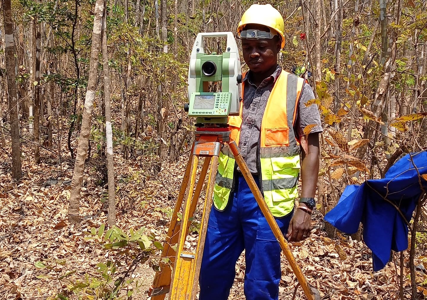
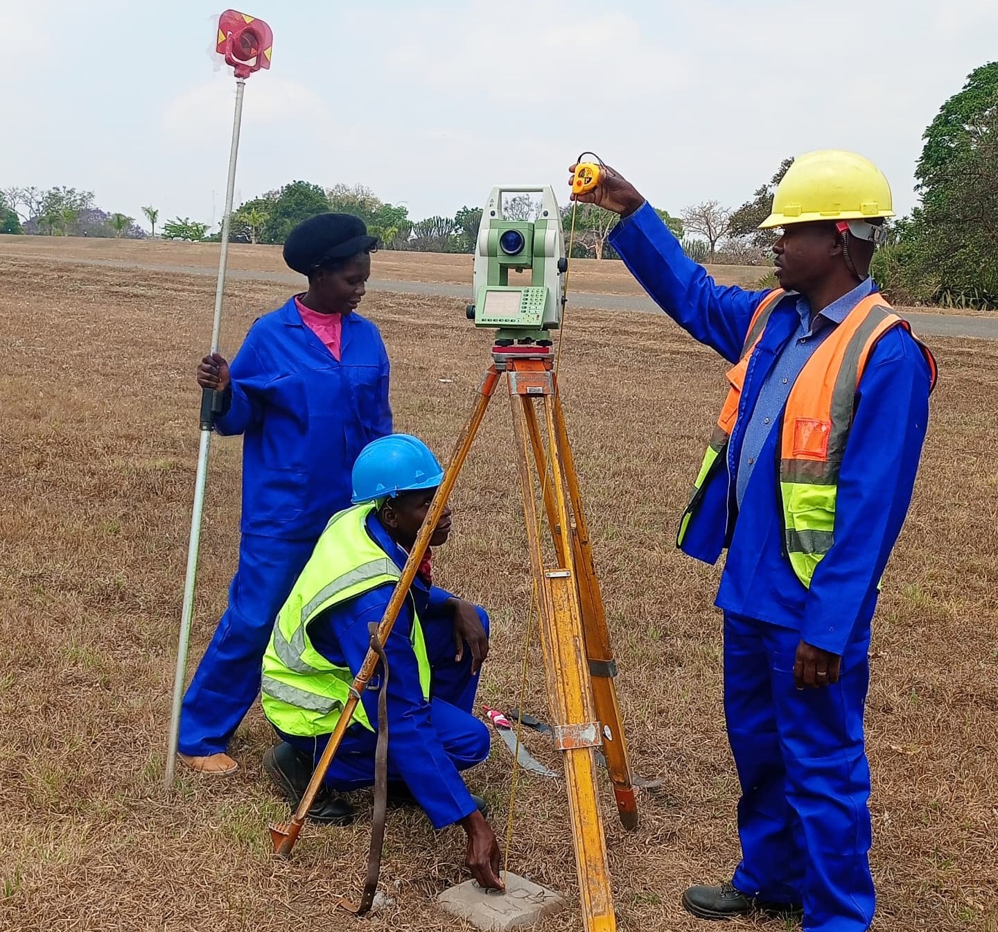
LAND SURVEYING SERVICES DIVISION
1. Geodetic and Topographic Survey Section
- Establishing surveying processing and publishing geodetic data;
- Identifying and surveying of control points for mapping;
- Field data capture for map revision; and
- Conducting scientific observations for earth movements and other displacements.
- Demarcation and survey of administrative boundaries both local and international;
- Survey of parcel (plots) boundaries for security of tenure; and
- Producing registry maps to support registration of title.
MAPPING DIVISION
The division is headed by Deputy Surveyor General (Mapping). The division is responsible for provision of mapping services and it has three units.
1. Land Information Unit
This unit is responsible for:
- Production and revision of cadastral plans and maps;
- Creation and maintenance of cadastral database; and
- Creation and maintenance of a comprehensive Land Information System
2. Map Production Unit
The unit is subdivided into photogrammetric and the cartographic sections and is responsible for acquisition of mapping data and designing and production of maps, plans, images and mosaics.
3. Printing Unit
This unit is responsible for:
- Production of repromats;
- Printing of maps photographs and image; and
- Printing of specialized geo-information products.
HYDROGRAPHIC & AERONAUTICAL SERVICES
- Production and revision of hydrographic charts;
- Production of sailing pilots for safety of navigation on water bodies;
- Production of notices to mariners;
- Production and revision of aeronautical charts for safety of air navigation; and
- Establishment of airport survey controls and position of runways for safe navigation of aeroplanes.
- Collection of Nkhota-Kota Jetty Area bathymetric data for production of 1;10,000 scale nautical chart;
- Data collection and production of profiles and charts in major rivers like Lilongwe and Shire rivers; and
- Finalising servicing of the vessel.
-
Inadequate funding to support survey activities and to manage the ship;
-
Lake topographic maps, updating nautical charts is costly and requires adequate funding;
-
Lack of specialised positioning equipment; and
-
Lack of training.
QUALITY ASSURANCE & DATA MANAGEMENT
The purpose of this division is to ensure that the surveying and mapping activities are carried out in accordance with the country’s geo-information standards and associated metadata standards It is also responsible for archiving and disseminating geo-information to the general public
It is divided into two units:
- Quality Assurance
- Examination of field survey methods and computations.
- Checking overlaps of newly surveyed properties with existing ones.
- Ensuring adherence to standards.
- Approving cadastral surveys of all private surveyors.
- Policing illegal survey activities and map production.
- Spatial Information Centre
- Archiving of Spatial Information
- Publishing Spatial Information
- Dissemination and sale of spatial Information
This division is headed by Assistant Surveyor General at grade P4.
SURVEY MANAGEMENT & ADMINISTRATION DIVISION
-
Administer land surveying and mapping profession through the Land Survey Act;
-
Provide technical direction and advice to Government on surveying and mapping issues;
-
Coordinate land surveying and mapping profession in the country; and
-
Coordinate sharing of spatial data in the country.